There are, roughly, 900 miles of trails in the million-acre Olympic Peninsula National Park and adjacent wilderness areas. Anyone who hikes there immediately sees the work it takes to keep the trails clear, at least in the forested valleys and slopes. The whole system – rivers, slopes, forests – is incredibly dynamic. There are floods, landslides, fires, avalanches, windstorms, and even occasional earthquakes. The huge trees – Douglas firs, cedars, spruces – have root systems that tend to spread out rather than dig deep into the earth, wide circular spreads of roots just a few feet beneath the soil (which is mostly dirt mixed in with rocks and the limbs of former trees) and after it rains for weeks during the rainy season the soil becomes sodden and slurry-like, and then when the wind blows the trees topple, pulling up a big root ball of roots, dirt and rocks, leaving a hole, and often occurring in groups of blown down trees, for when one goes, so do the others behind it.
All of which to say that every year, on nearly every trail, some trees fall across the trail, water gullies erode the trail, and sections of the trail disappear. This is even worse along the rivers, which themselves are dynamic, sweeping back and forth against steep banks, and then an entire quarter mile of trail can vanish into the river, requiring an entirely new trail to be built further away.
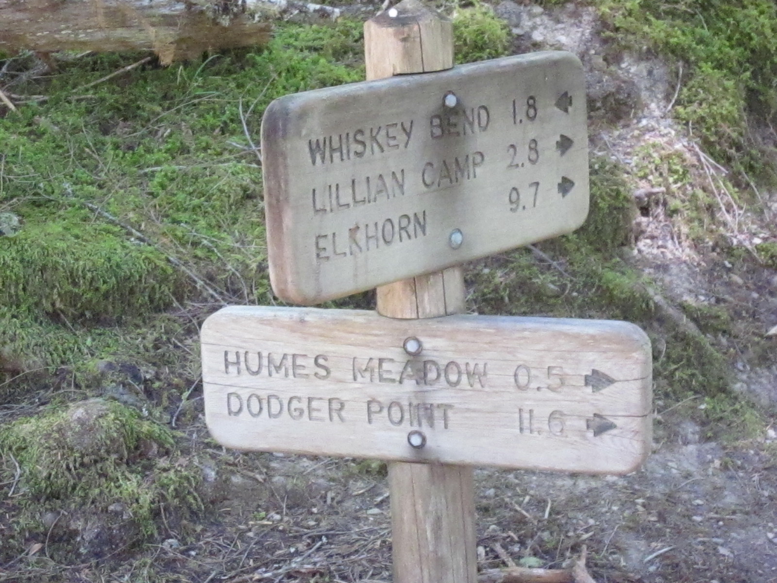
Trail maintenance is damn hard work. It requires engineering, the movement of heavy rocks, the cutting and moving of huge trees, constructing rock dams against which earth is then placed for a tread path, the use of plastic pipes to channel water beneath a trail section, placement of stone channels to guide the runoff, and a host of other efforts. I’ve gone out with work parties a few times myself, and it’s damn hard work, harder than backpacking, and most hikers aren’t even aware of the hours of painstaking work someone has done to leave a trail that is walkable. If you hike in these forests, you are likely to see a Park or more likely a volunteer trail maintenance crew, some times way deep into the back country, with hard hats, chain saws, axes, shovels, mallets, often horses to carry their gear, often camping out for several days, working on a section. This is in addition to the annual cruises somebody does every spring, everywhere, cutting free those trunks that have fallen across the trail. Lots of trees fall. The Park Service has a trail report system, and in the spring the first hikers who go in to the trails, especially on the western side of the park, where it is wetter, report 60, 80, 120 trees down across a trail which might be 10 or 20 miles in length.
Once you first notice the amount of work taken to keep a trail clear, you always see it – the butt ends of sawn through logs that fell across the trail, the sections tossed off into the understory beside the trail, the amount of rock and soil work to keep the trail path level and firm. Without all this work, there are trails in this system that would literally vanish within five to ten years, covered with fallen trees, washed away, grown over. Moving through the lowlands, beside the rivers, or along the slopes, at times can be relatively easy, because the understory can be rather open, especially higher, or down on the river bottoms where the trees are huge and don’t fall that often. But there are other areas, many, that are virtually impassable, either because they are so steep and rocky, or because they are so thick with growth.
The first time I ever walked into the Duckabush, back in 1991, I followed the trail over Little Hump to a lowland, which paralleled the river before climbing steeply to Big Hump, and in that area there was a huge blow down, probably from that ferocious windstorm from December 1990 that blew out the floating bridges, and it took me half an hour to find the trail on the other side. I bet there were 100 trees down. Now, almost 30 years later, I can still see evidence of that blow down, but not easily. A couple years ago I dragged my brother in law with me to the South Fork of the Hoh, having this bright idea we’d go on past the trail end and work up the river to the Valhallahs and the high country there. We got to the trail end fine, it was a lovely hike, but bush whacking beyond was impossible. Impossible, at least for the two of us, admittedly near geezers, because the growth was impassably thick. We were there in May, and the river was high with snowmelt, and we thought, maybe in August, when the water drops, people can work along the river bars far upstream, avoiding the brash and thickets on the shore.
It’s easy to see why the first pioneers who came out to this country thought that nobody ever went into the interior of the mountains. Trying to move through the blown down trees and thick brush with heavy gear and horses would be almost impossible. It took the Press Expedition nearly six months to traverse the Park north to south in 1893, a distance of less than 60 miles. About a decade ago I drove by Camp Parsons, the famous Boy Scout Camp on the Hood Canal which has been sending troops of boys into the Olympics since as early as the 1920s. Our across the street neighbor in Ballard, who died at 94 about five years ago, Frank, went to Camp Parsons in the 1930s, and he hiked all through the park on the trails then, many the same as we hike today, and he later climbed Mt. Rainier 40 times. I wanted to see this camp, and there it was, and someone who worked there, as old as me, told me with authority that the Indians never went into the interior of the Park. He was, and is, dead wrong, of course, native people have been going all through that country for thousands of years, but I think it might have been as hard for them to work through the lowlands as it was for the first pioneers a century and more ago, except for the simple fact that once the light bulb goes on and you start following elk tails, everything becomes easy. Elk know better than anyone how to find a way through the thickets, how to avoid the gullies that draw you in then drop you into steep dangerous falls, how to turn away from the cliff ahead.
I have another theory as to how the First Peoples traveled in the Park, and how old some of the trails really are, but that is another discussion.
